Electronic Navigation Systems
Electronic devices have become standard equipment for savvy navigators
Radio waves have been used in navigation for more than 100 years, but it's just been in the last several decades that the use of electronic systems has dominated the practice of navigation. In fact, this dominance has reached the point of frightening many mariners who believe that a lot of navigators would be lost, literally, without electronic devices. The only way to relieve yourself of this concern is to know how, from practice, to navigate without electronic systems. And, if you know the basics, you'll understand better how the systems work and when to doubt their intelligence.
Radiobeacons
Radiobeacons were first introduced in U.S. waters in the 1930s as an aid to coastal navigation. Onboard receivers with direction-finding capabilities could indicate the bearing to a transmitting beacon.
When the electrical coil in a directional receiver is oriented 90 degrees from the direction of the beacon, the signal is strongest; when the coil faces the transmitter, the signal is weakest - it's at the null. Although radiobeacons have theoretical ranges up to 200 miles (substantially lower ranges at night when power is deliberately reduced), they are reliable only to about 25 miles.
As other types of electronic aids have gained in use, the number of radiobeacons has been reduced. Also, their mode of operation has changed in recognition that they're now used mostly as single homing devices rather than in groups yielding simultaneous bearing fixes. So now they transmit continuously rather than in time-sharing arrangements with others in their group.Radiobeacon waves are subject to several kinds of error. Waves crossing a coastline at angles other than 90 degrees are refracted (bent in) toward land. At night, waves reflected off the ionosphere can blur the signal. And, incoming waves can ricochet off rigging and reach the receiver as a second (erroneous) signal. Finally, waves follow a great circle path to the receiver, but you plot directions as rhumb lines on a Mercator chart. To plot the direction to a distant transmitter, you can convert great circle to rhumb line bearings using the Radiobeacon Half-Convergency Correction Table.
In an emergency, you can use a commercial radio station as a homing device in conjunction with a regular portable radio receiver. Ironically, cheaper sets often serve this purpose better than expensive ones because their antennae are more directionally sensitive - an undesirable feature for most (non-navigation) purposes that higher quality designs often eliminate. Don't be tempted, however, to rely heavily on commercial stations, because all the errors mentioned above come into play. In addition, because the locations of commercial transmitters are seldom given on charts, the results are usually bound to be crude.
Note: Canada, Mexico, and the U.S. are rapidly decommissioning marine radiobeacons. Many relatively recent charts show radiobeacons that are no longer operational. Check Reed's Almanac or other up-to-date sources. There are numerous aero beacons in operation that work with rdf receivers and provide similar lines of position.
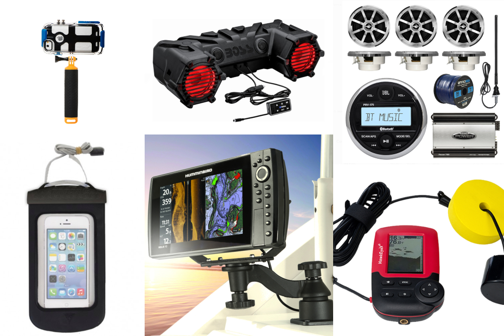
Depthsounders
This system is noted here because it's of general interest to navigators and also because it serves as a reminder to use soundings in everyday navigation — an element too often overlooked.
Ocean bottom features are similar to topographical features on land except that they are usually more worn down and gentle. Bathymetric charts based on systematic surveys shows these features as bottom contours alongside continents and along heavily traveled routes between continents. Using a good depthsounder, you can detect when you're passing over a prominent feature like a seamount or canyon. In the absence of such features, you can overlay a trace of soundings taken over time on top of charted contour lines and match them up. This technique works best when you're crossing contour lines at sizable angles.